To get a list of topographical maps that cover a particular area, drag the orange map icon to your point of interest then click the "Find Maps" button. You will be able to download your map on the next page. The 2025 NCKMS Symposium's map database currently contains 258,252 maps. The catalog was last updated on Friday, May 17, 2024.
![]() Bristlecone Convention Center
Bristlecone Convention Center
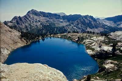
![]() Great Basin NP
Great Basin NP

The Hydrographic Great Basin is a 200,000 square mile area of the American West that extends from the Sierra Nevada Range in California to the Wasatch Range in Utah, and from southern Oregon to southern Nevada. The entire basin contains what's called an endorheic watershed. All precipitation in this region evaporates, sinks underground, or flows into lakes. No water reaches the ocean.
Advance registration for the 2025 symposium is expected to open in mid-2024. We will send an email to past attendees when that system comes online.
Feel free to join our mailing list if you would like to receive occasional updates on our plans.